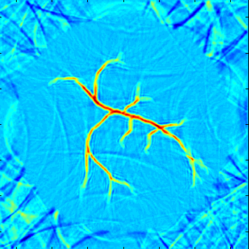
Inverse problems in the environmental or geophysical sciences typically
suffer from lack of data. However, additional information could be used in the form of (readily
available) images (satellite images, seismograms) from which quantitative values of physical pa-
rameters have to be extracted. Our objective here is to apply geometric techniques to process
information contained in such images so as to design controled data assimilation and optimization
techniques.